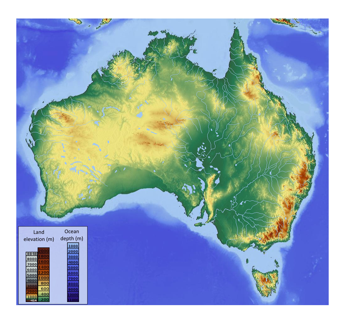
Currently, I am trying to learn to pinpoint Australian regions. Learning to regionguess Australia should help you and me improve our overall ELO performance as Australia is quite a big country and any good regionguess will substantially improve our points in Australian rounds.
Let’s collect all helpful resources and tips that we came across for regionguessing Australia.
Please post whatever info and resources you came across that really helped you, I will add them to the list below:
Australian Digital Atlas, specifically the layers “National Vegetation Information System (NVIS) Version 7.0 - Extant Vegetation”, “Railway Lines”, and “Catchment Scale Land Use 2023, Agricultural Industries Classification”
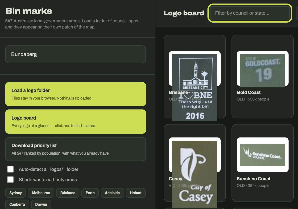
Knowing trash bin logos provided by regional councils or waste management facilities are amazing when you get put into or near a suburb or city (which happens in about every third Australian round) - I can write a separate post about trash bins - I made myself some tool to memorize trash bins for that purpose. A quick preview:
Do you have an URL to the bin page? It looks really nice
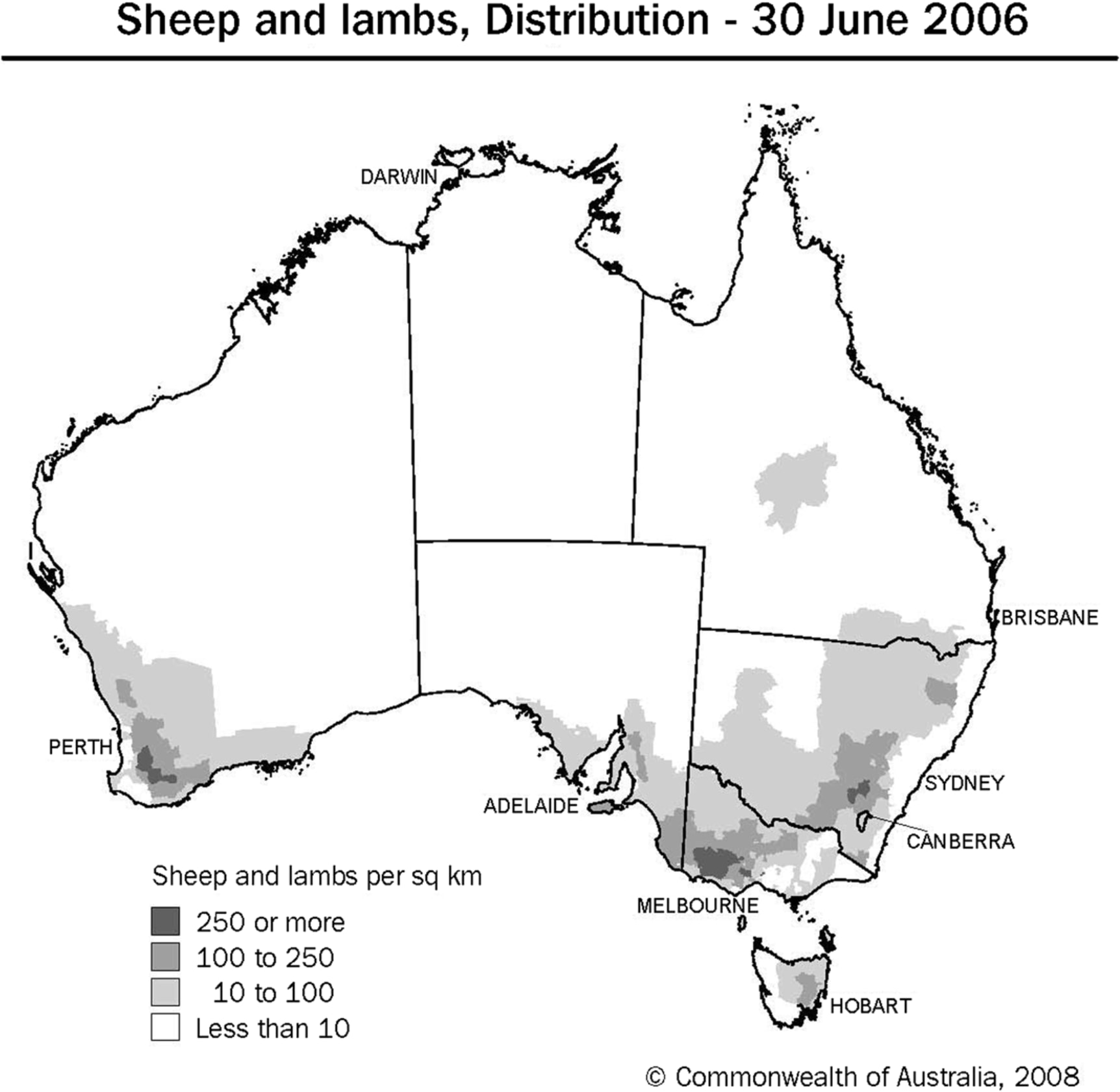
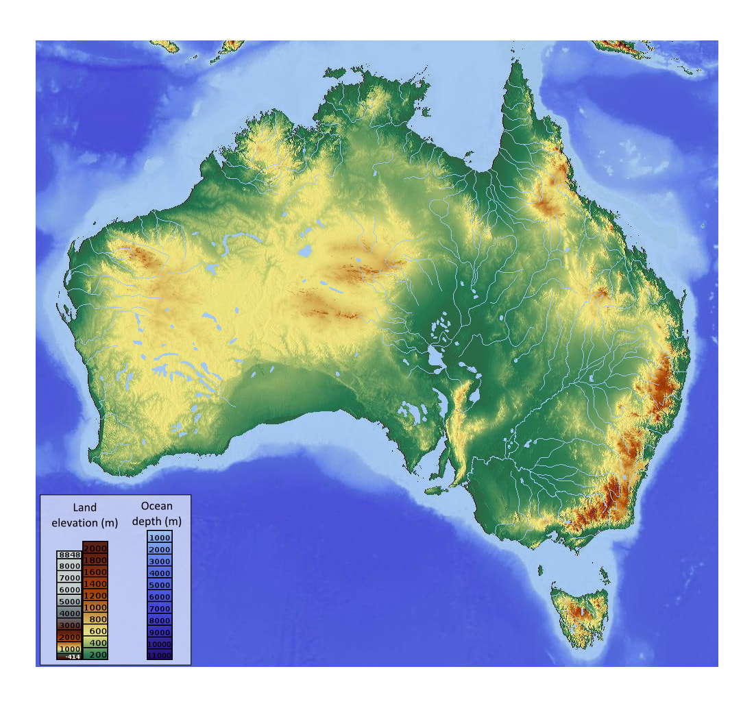
I can tell you that it really isn’t necessary to study things likesheep distribution, with soil colour, poles, trees and elevation you’ll come very far
No I made and host that website locally, its not public.
Yeah I know about soil colour, poles, trees, elevation, etc from zi8zag’s videos.
But there are some cases where poles can look QLD, NSW or VIC - or even WA, especially scenarios in which I am placed in the outback or in a more semi-arid landscape. And sometimes you do not have any poles around you. There are quite a few scenarios where you can mix up regions/councils or even states. My aim is to get consistently to about 4k points per round in the Australian map.
Currently, I am trying to learn a bit more about tree and grassland types (see the MVG NVIS classification) to get a bit more exact when in these scenarios.
Btw know the national parks (what cars they have, how they look, camera gen), know some towns that are in the middle of nowhere like Alice Springs, know some roads like Stuart Highway, some random coverage cities like Darwin and things like Kangaroo island
I started to make myself another tool similar to the trash bin one.
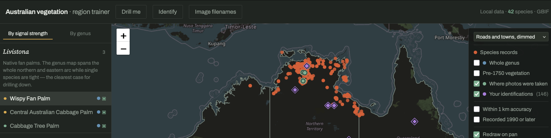
This tool shows you information about the prevalence of specific plant genii or more concrete plant species in a selected country.
In the below example, I am displaying all Wispy Fan Palm (Livistona inermis) in Australia - and we can see they are all located in NT.
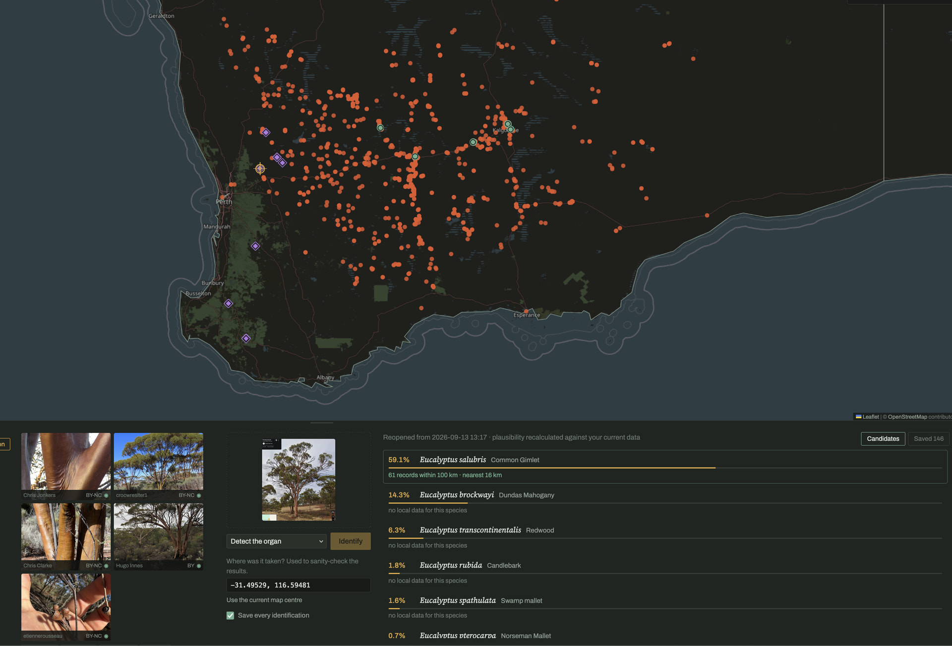
It also lets you automatically identify trees and plants that you found at a specific location.
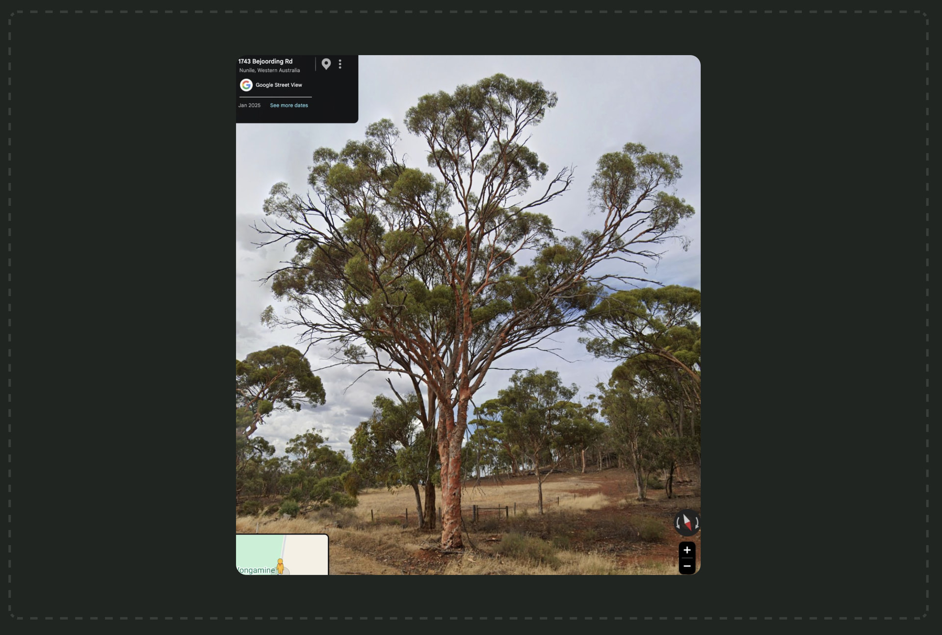
For example, I took a screenshot of a tree in google maps near Perth and my tool identified as a Common Gimlet (Eucalyptus salubris):
As soon as I am getting confident enough I will update the top post.
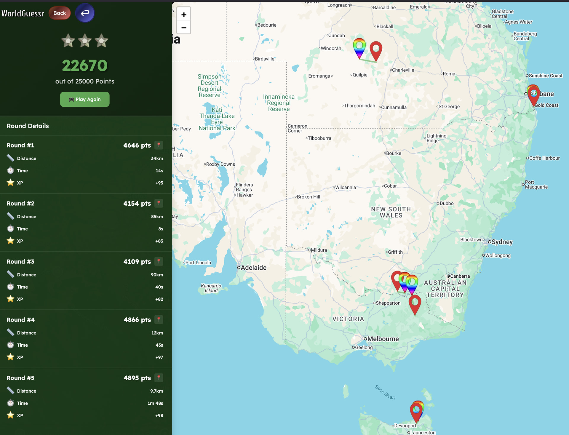
The image above is the result from playing the Australia map with self-enforced no move rule.
 zi8zag (covers signs, poles, bollards, a bit of vegetation, etc)
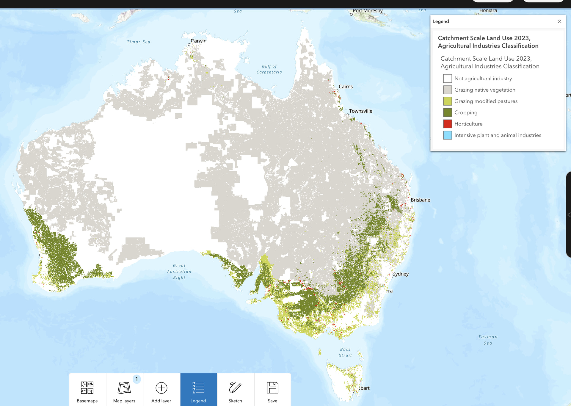
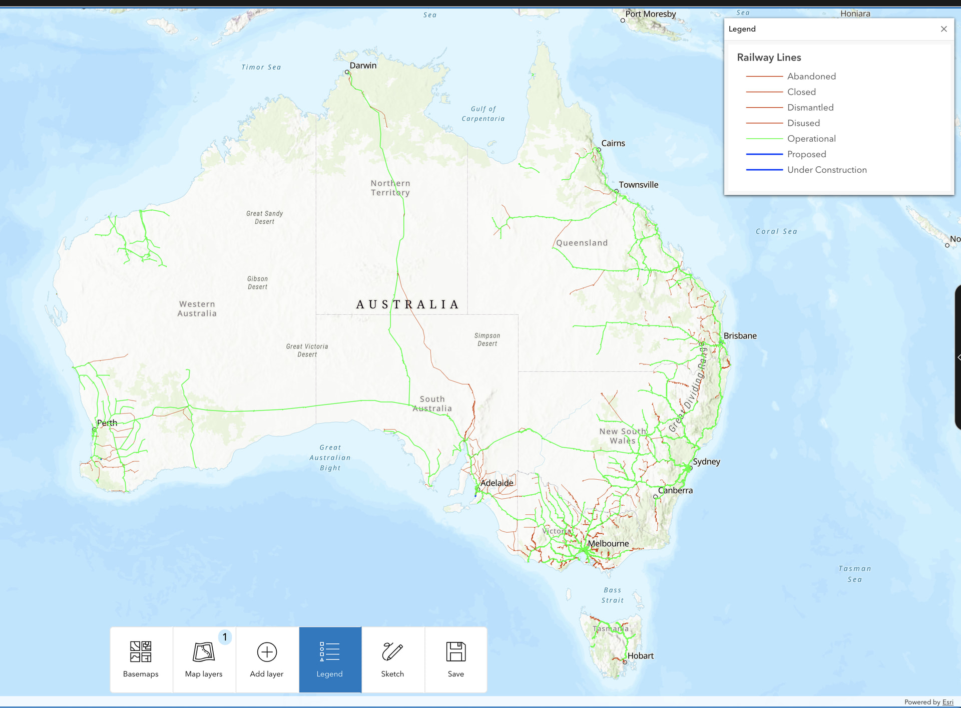
 - I made myself some tool to memorize trash bins for that purpose. A quick preview: