This week, I want to focus on region-guessing the usa .
What tips do you guys have? Maybe even some that are not present at the plonkit guide for the US?
I am curious to see your answers!
This week, I want to focus on region-guessing the usa .
What tips do you guys have? Maybe even some that are not present at the plonkit guide for the US?
I am curious to see your answers!
Learn the counties
don’t go kansas if it’s nebraska. done 
Learning individual US State Highway symbols (I haven’t learned a single one)
learn the English language (of category V)
I can prob send some east us plants someone sent me before(in a few days)
I’ll (ab-)use this topic as a personal progression report.
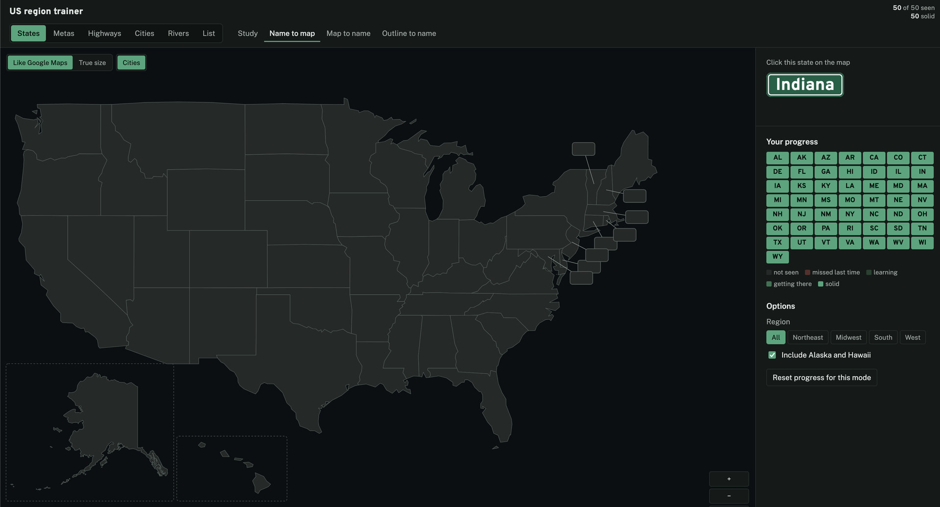
For now, I made a US region guessing trainer with a bunch of modes:
States is a simple state quiz similar to the US states lv1 helloquiz which can quiz me to learn a US state to US map mapping:
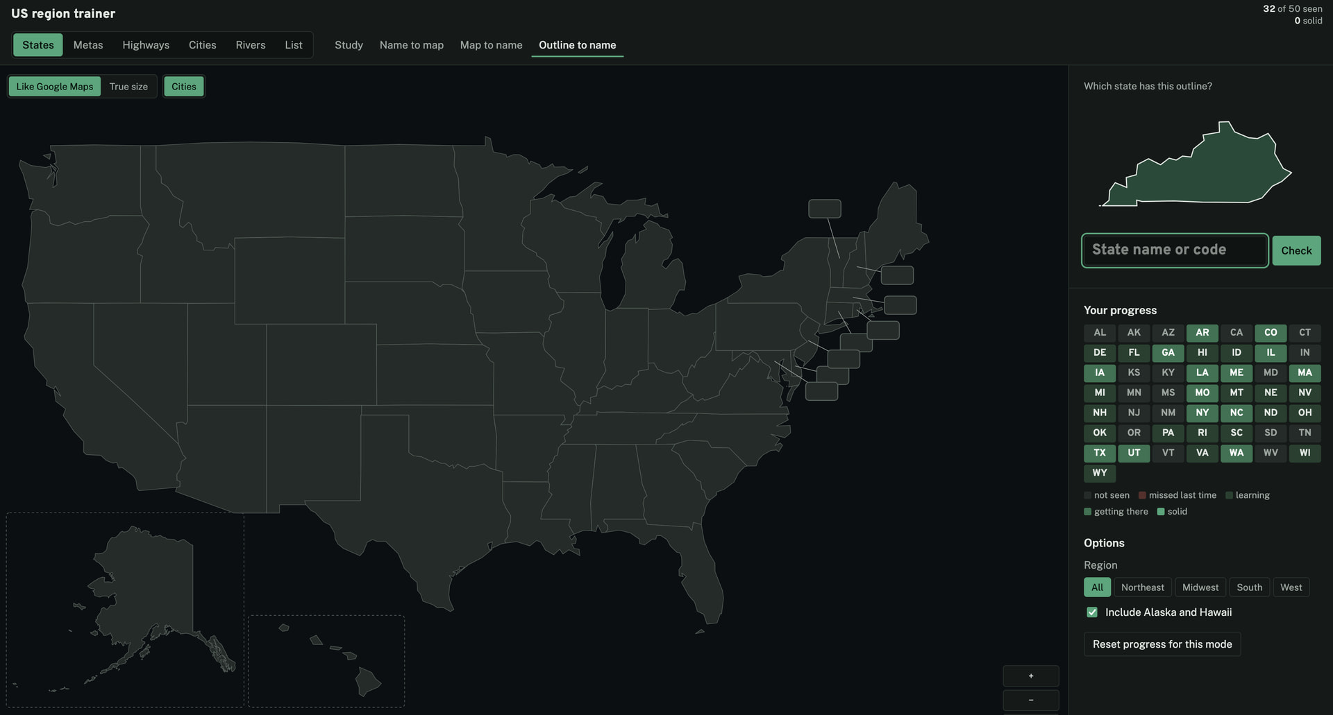
Or to learn the outlines of each state, which is sometimes is useful such as when they appear on certain highway shields:
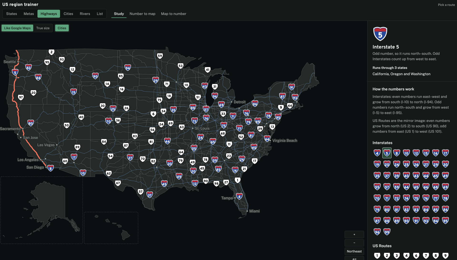
Highways is another mode that I selectively can show. It can quiz me about some important interstates and US routes:
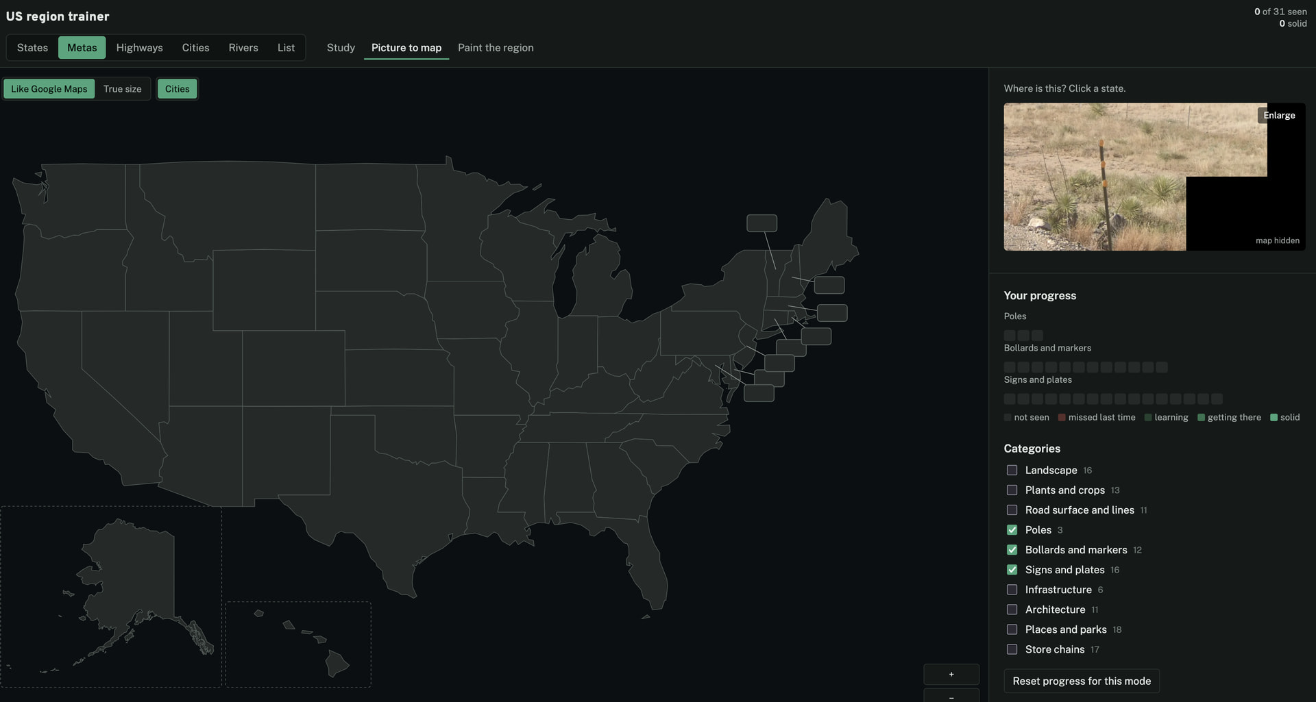
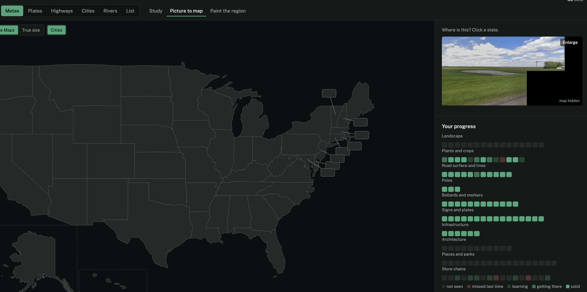
Metas is basically a meta quiz mostly from the US plonkit page but I can extend it to have any further meta that I found myself:
Let me know if any of you have further suggestions to add to the trainer that you might think is actually useful? 
I forgot what it’s called but making it similar to the guy that made offline mmas last project
Can you give me more information, because I don’t know what you are talking about - any video, forum post etc?
Soon™
You guys probably heard that US interstates and US routes follow some numbering order, but may have not seen an animation of that, yet.
I made one for you to enjoy!
US Interstates (shows the odd then the even numbers):
US Shield Routes (shows the odd then the even numbers):
Thank you a lot for your work. Really impressive and quite useful, even for such a beginner like me
Another mode in my trainer now is US plates.
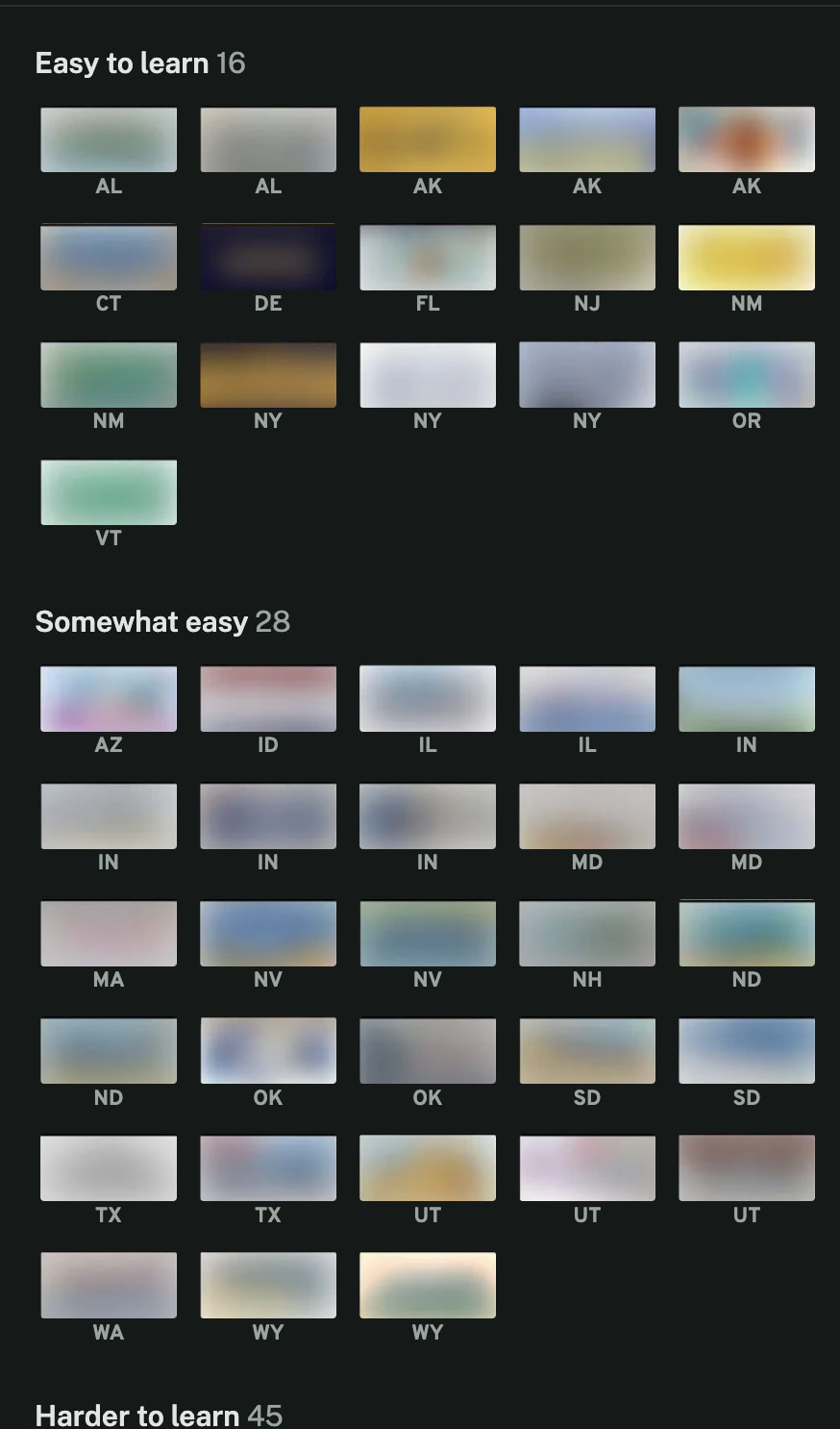
In the study mode I can study the plates and choose to start with the easiest ones, then gradually increase difficulty:
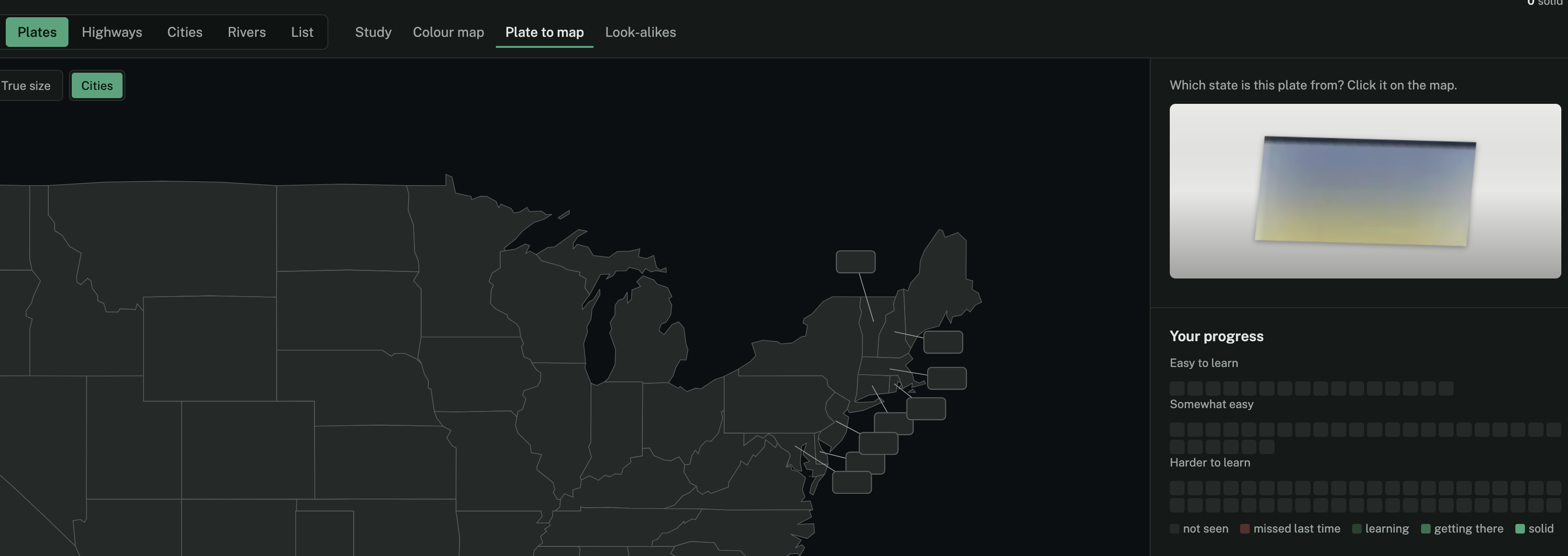
And then test my knowledge:
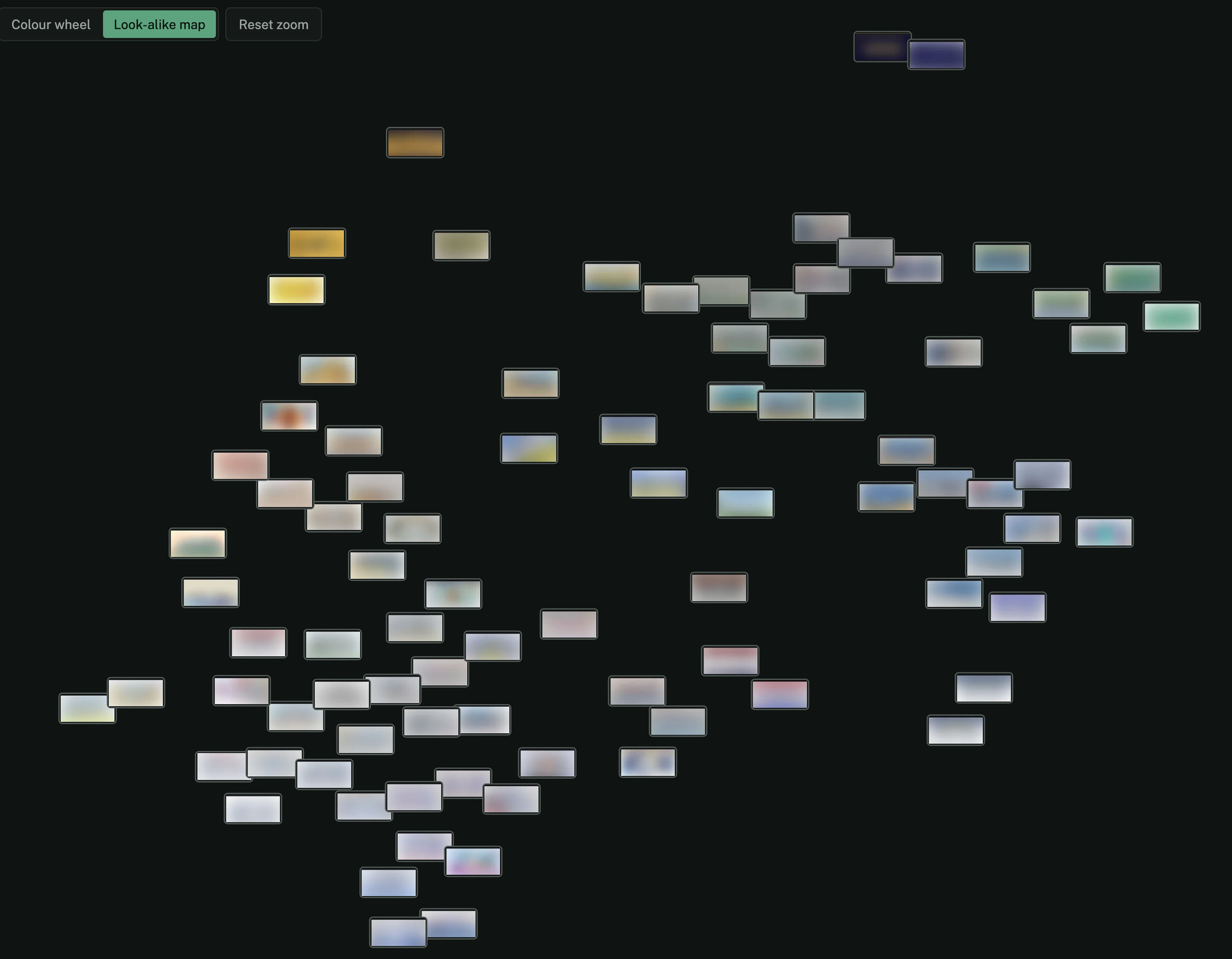
And one thing that might be interesting is how similar plates are when looking at them by their average color:
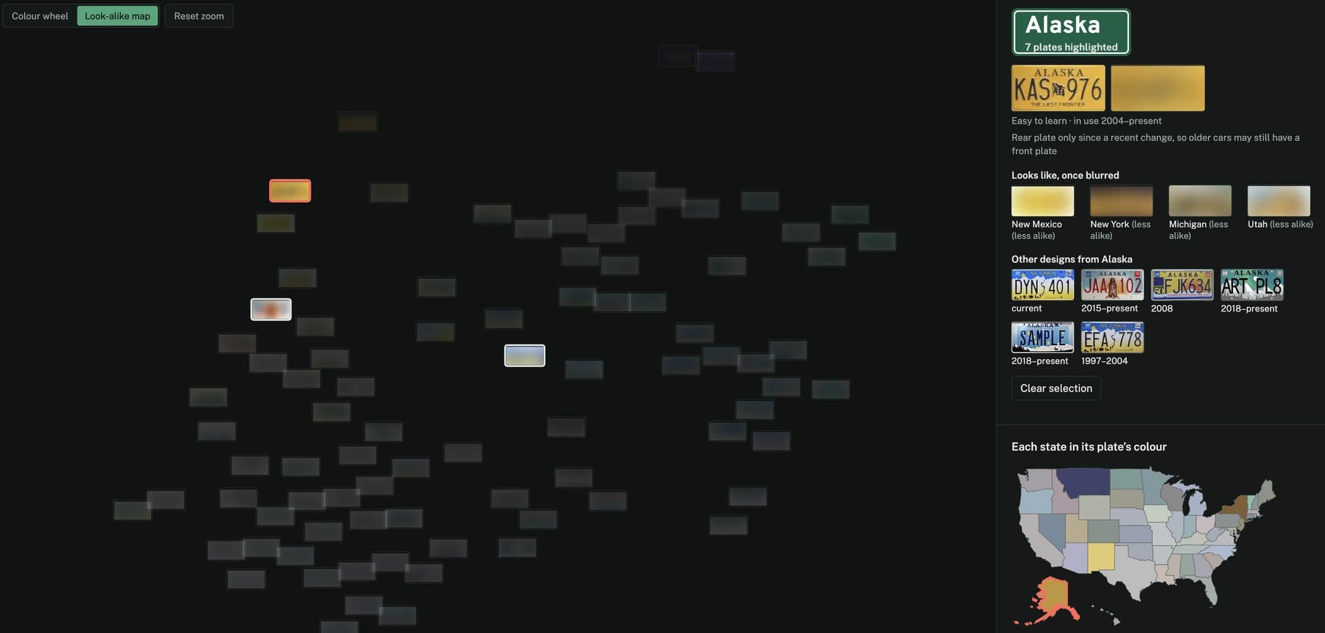
I can see which plates are lookalikes based on their color, such as when I select the yellow Alaskan plate:
Oh and I have been training Metas yesterday and today and it helps me basically memorize the plonkit page (and any additional metas) in a very fast manner:
Learn US interstates, how those work, and the overall area and geological stuffs of the areas
Look at the sun to see if your on the northern hemisphere or the southern hempiphere. It always helps me.
not helpful in the US unless you somehow spawn on Jarvis Island
Alright I’ve added more modes to the trainer that I think are very useful - such as identifying adopt-a-highway and state route shields.
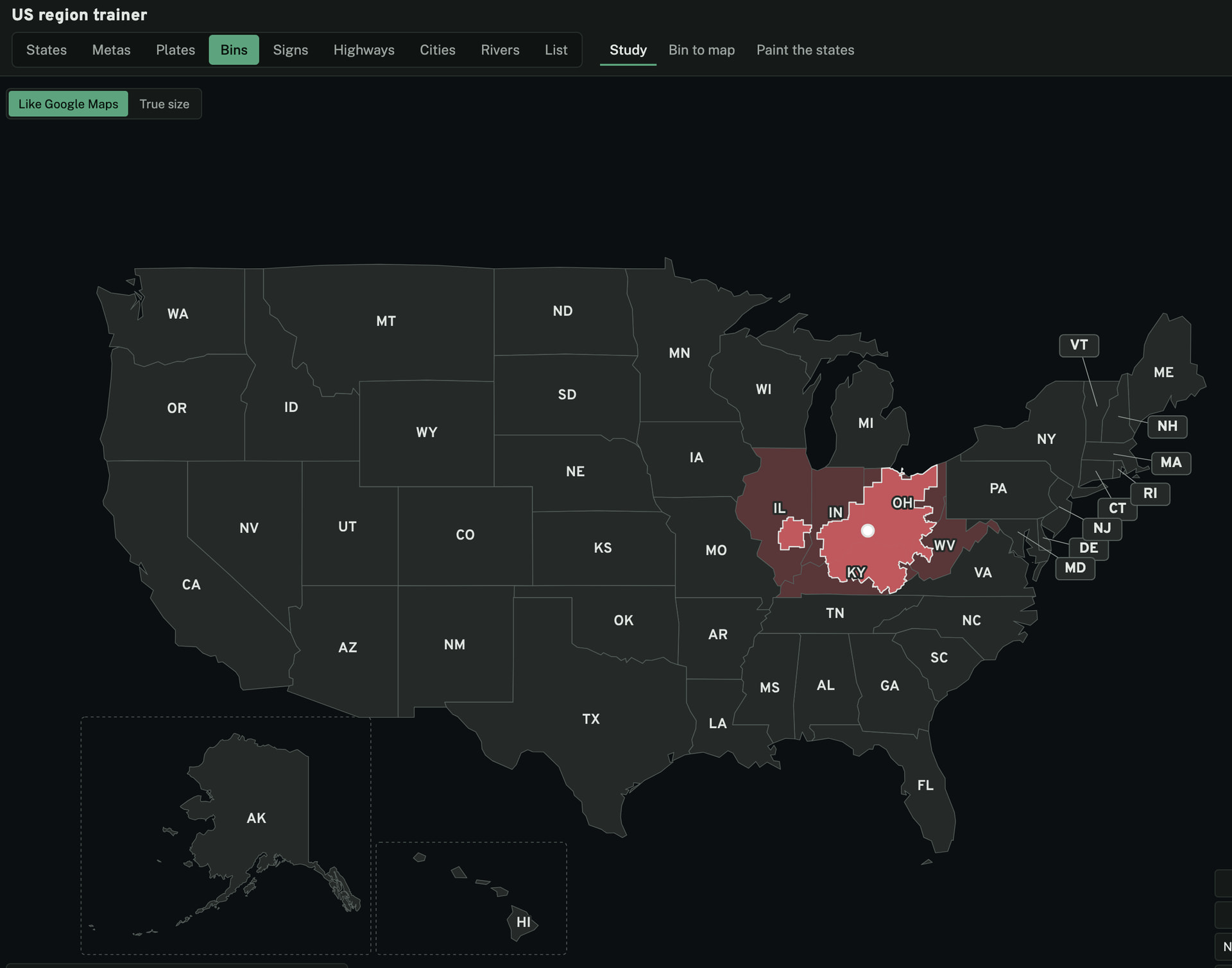
One additional mode that I want to show is of course identifying trash in the Bins mode:
The image above shows the regions in which the Rumpke Waste & Recycling company has its footprint, i.e., where it operates.
This means whenever I see the following waste bin, I know to place my pin somewhere in the highlighted region:
Alright I’ve added another mode. This one is kind of worldguessr specific:
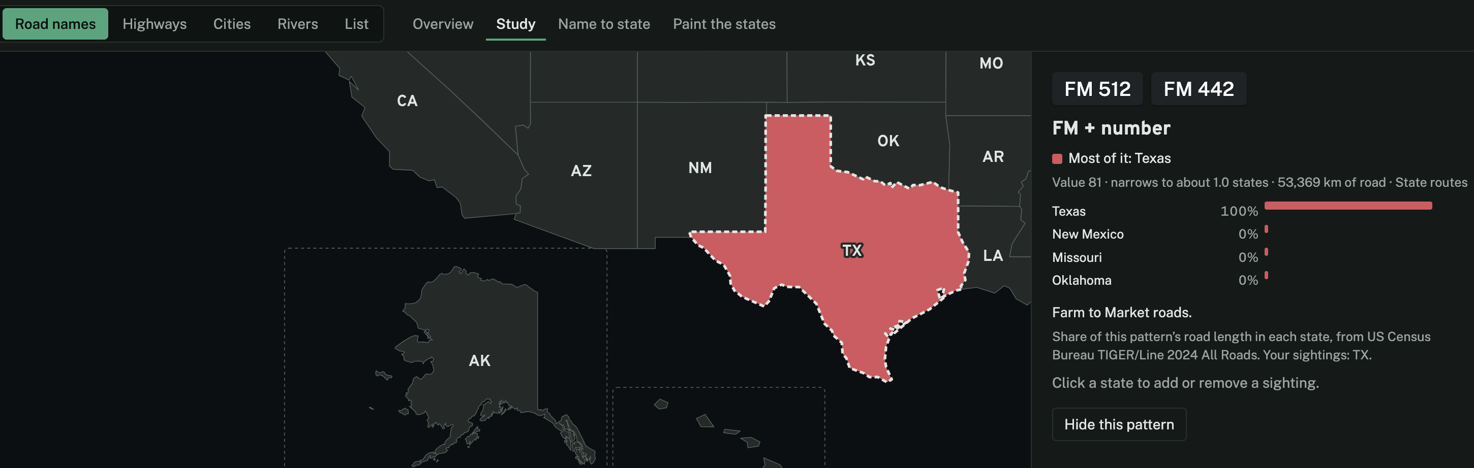
Road Names gives insight into road names patterns as they appear on google street view. There are a LOT of very valuable patterns.
For example, did you know that FM (Farm-To-Market) roads are basically a 100% indicator for Texas and appear quite often?