I’m no pro in any means but first make sure you know which African countries are in Google Street View:
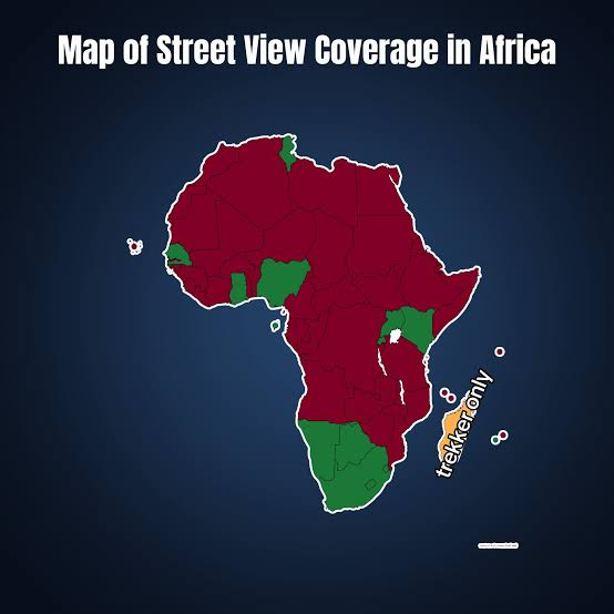
To start off I always use the sun meta to quickly eliminate the top half of the continent (Nigeria, Ghana, senegal etc)
If the sun meta doesn’t work you can also look at the driving sides. Southeastern Africa drives on the left side of the road, while the rest of the continent drives on the right side:
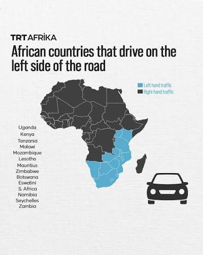
With just this info you are set to get a very solid guess in Africa. The only way you could mess up now is with Kenya or Tunisia which are in their own corners compared to the other regions.
For Kenya specifically, Plonkit has a great guide. Citing them:
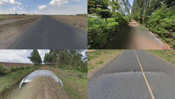
Kenya is mostly covered in Generation 4 pickup truck coverage. Most trucks are blurred out, but sometimes you can see parts of the car, which can be many different colors, or a snorkel.
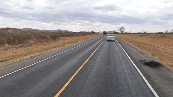
Outer lines in Kenya will always be solid white, while inner lines will be yellow and either solid or dashed.
And for Tunisia it’s very deserty almost middle eastern and has Arabic on the signs which should help you differentiate it.
Hope this helps as a rough beginners guide!